


Railway construction
• Implementation of inventory surveying
• Authoring of site plan and longitudinal section map
• Planning and implementation of geodetic benchmark fields
• Setting up of inventories fundamental for project accounting
• Controlling of clearance diagrams
• Stake-out of platform edges and elevator shafts
• Controlling of precast elements for fixed track installation
• Stake-out for precast element installation
• Setup and control of track position

Aerial survey
We offer high precision surveying services with the help of our drones (multicopters). Our UAV / UAS systems offer high accuracy, efficiency and flexibility.
• Photorealistic 3D model representation
• High-resolution photos & 3D point clouds
Applications areas:
• Architecture
• Open-cast mining
• Real estate sector
• Construction industry (civil engineering, building & bridge construction)
• Archeology & Historic preservation
• etc.
For large area- & topographic survey drones offer a perfect foundation for creating high-resolution orthophotos. Accuracies in the low centimeter range are possible.
Applications areas:
• Construction industry
• Design offices
• Architects
• Real estate industry
• Agriculture & forestry
• etc.
Extensive inspections (photo / video recordings) are possible for the planning phase or directly during the construction work. Surveying Drone's (UAV / UAS) are an adequate means of documenting aerial photography or documenting regions that are difficult to access.
Applications areas:
• Industrial facilities
• Photovoltaic installations
• Wind turbines
• etc.
To use your construction project as data basis, our drones are an ideal solution. In conjunction with predefined reference points we achieve accuracies in the low centimeter range. Thus, we can process volume and height models and visualize it. This solution is mainly used for large-scale projects, because drones are very efficient here.
Applications areas:
• Construction industry
• Open-cast mining
• Industrial facilities
• etc.
Our complete UAV solution for surveying, mapping, inspection and construction enables fast and flexible data collection. The system captures, processes and analyzes millions of data points with high efficiency. This exact data is almost the reality and expand the possibilities of your construction project.
Technical Details:
• Type of drone: Octocopter
• Takeoff weight (incl. Payload): 11,2 kg
• Camera: Sony Alpha 7R II 42,4 MP
• max. flight time (per battery pack): approx. 24 min.
• max. area coverage (per battery pack): approx. 160 acres
• max. accuracy: approx. 1cm (GSD) | approx. 2cm (3D)
• max. speed: approx. 65 km/h

Bridge construction
• Implementation of inventory surveying
• Authoring of site plan and longitudinal section map
• Take over, control and deployment of a 3d percision survey network
• Consulting & support of construction management in all surveying issues
• Development of operating instructions & surveying concepts
• Measurement for cantilervering construction or incremental launching, launching truss, heavy-load scaffolds, raised production & lowering of superstructures
• Setup, control & supervision of all pylon segments
• Installation of the cable-stayed anchorages in the pylon and the superstructure
• Stake-out & control of all pylons & superstructures
• Stake-out for basic & steel construction
• Measurement of all accompanying actions
• Monitoring & settlement measuring
• Inventory & quantity survey
• Evaluation, documentation & planning of all measurements

Building construction
• Implementation of inventory surveying
• Authoring of site plan and longitudinal section map
• Calculation of building structures
• Site planning of building application process
• Investigation & calculation of clearance
• Rough stake-out for earth works
• Reference line stake-out
• Control measurements
• Alignment stake-out on single floors
• Placement of meter markers
• Settlement & deformation measurements
• Mass calculation through prism- or profile method
• Floor space and mass calculations in civil engineering and construction
• Mass detection according to REB 22.013

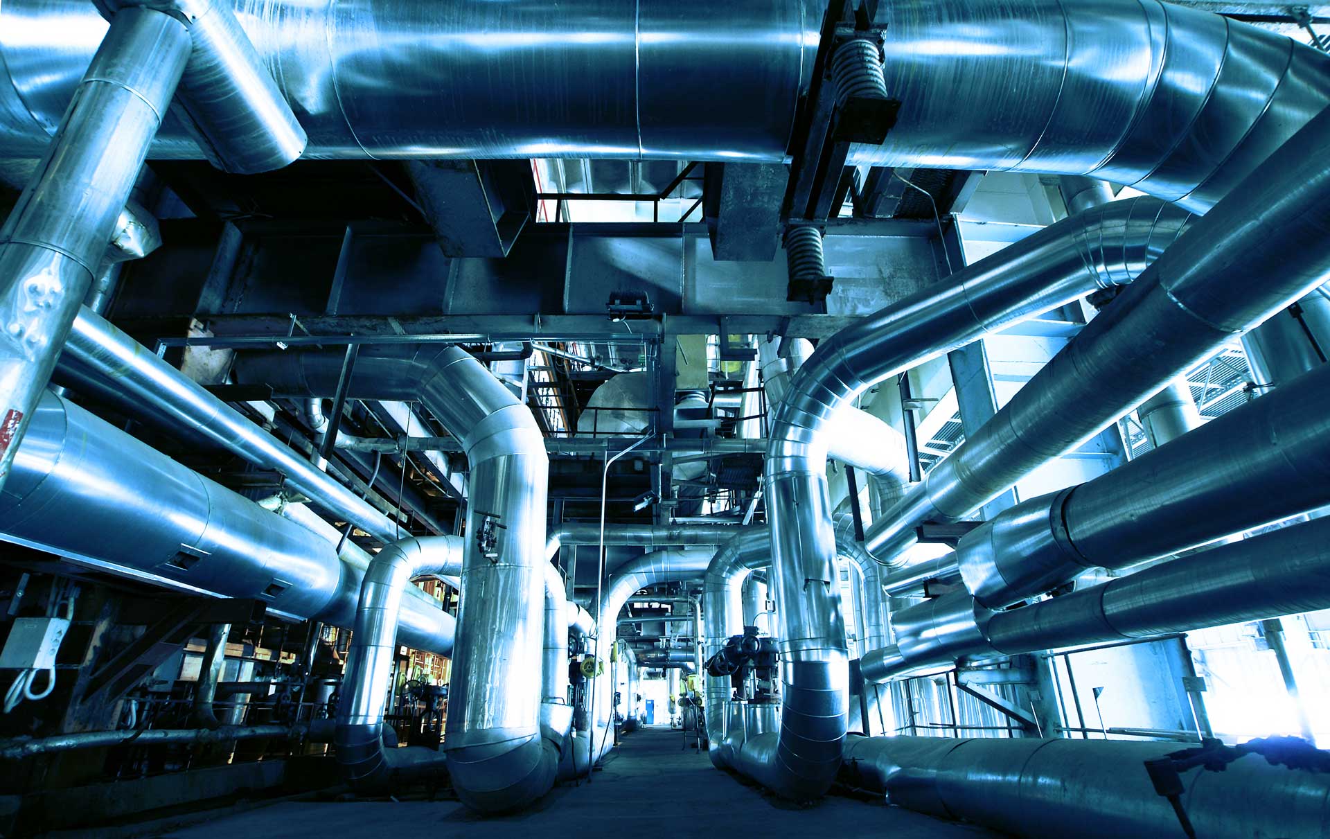
Industrial survey
According to the requirements we execute formwork & prefabricated parts measurements with laser trackers & precision measurement frames. In detailed reporting we set up target/actual performances for ongoing quality assurance of prefabricated parts production.
• Installation and control of formwork
• Tubbing control after production
• Installation and control of formwork
• Tubbing control after production
• Installation and control of formwork
• Tubbing control after production
• Installation of assembly lines
• Control measurements of assembly lines
• Preparation and continuation of as-built plans

On-/offshore
• coordination
• documentation
• representation
• supervision
• provision of OAFN
• provision of Representatives
• MBES measurements
• Sub-Bottom-Profiling
• monitoring of laying data
• securing of evidence
• analysis and visualization of data and measurements

Road & motorway construction
• Planning & preparation of a position/height fixed reference point network for further surveying tasks
• Control of contractors original terrain
• Original terrain surveying
• Development of digital terrain models
• Takeover of planning from surface structure lists & longitudinal and cross-fall band
• Installation of 3d precision survey networks at bridge construction sites
• Basic evaluation of track planning & inclusion of new expropriation borders
• Stake-out for earth works
• Development of terrain models for machine control
• Height control of base course layer
• Stake out of road side (curbs) etc.
• Consulting & support of construction management in all surveying issues
• Development of operating instructions & surveying concepts
• Stake out & control measurements for street- & earthworks, drainage systems, installations, noise barriers etc.
• Settlement- & control measurements
• Control measurements of single street layer
• Implementation of target/actual comparisons
• Implementation of inventory & layout plans
• Coordination & establishment of machine control
• Development of terrain models for machine control
• volume calculation according to standard directive Bast/REB-VB 21.003
• inventory documentation

Tunneling
A reference point network is fundamental for an exact heading control and quantity survey. from planning and implementing of the measurements to network calculations and control measurements we provide all necessaryy steps of the process. We therefore implement static GPS measurements, precision levelling and tacheometry. Finally we transfer the reference point network into a superior level system according to contractors requirements.
We cover all areas of a drive with TBMs from steering the tunneling machine with a network prognosis and/or stabilizing with gyroscopic measurements to evidence backup procedures accompanied by fully automatic structure monitoring systems.
We cover all areas of surveying for conventional tunnel drives:
• partial stake out and controlling
• profile controllling
• adjustment of gearing lasers
• layer thickness measurement
• installation of piperoofs
• Settlement and gradient measurements with fully automatic systems
• Elevation and position observation with highest degree of accuracy
• Settlement, tipping and warping measurements of pylons, vaulted structures, bridges and other structures
• Movement and expansion measurements of machines and other construction parts based on graphics and diagrams recognizing structural changes